Geotechnical drilling
Elevate your projects with 20 years of geotechnical soil sampling expertise from HLR Geospatial
Providing precision groundwork for South Australian building projects.
Drilling
Geotechnical soil sampling

Geotechnical investigation
Site investigation and mapping
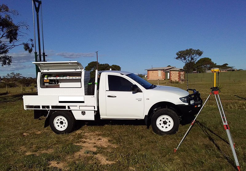
HLR Geospatial implement the latest technology by using GNSS survey grade receivers to map your site. This provides a cost-effective mapping solution giving you results in an industry standard format like DWG/DXF files in 3D.
Geotechnical services
Our geotechnical services will provide these drawings in GDA2020 with AHD benchmarks for your next contractors to use as your height reference for the entire life of the project. We also provide an industry standard service locators to find service like water, electrical & NBN that can be included in the site survey drawing.
We offer a holistic service to reduce your costs and value ad to the service that HLR Geospatial offers to our clients.
Surface and subsurface assessments
HLR Geospatial’s services include
- Geological mapping
- Aerial photo interpretation
- Borehole drilling, coring, logging, and sampling
- Test pit logging and sampling
- Service locating
- Mapping of all attributes of your site
You will find yourself working in a true partnership that results in an incredible experience, with a product that is superior to the rest.

Geotechnical drilling rigs
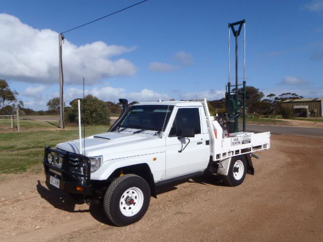
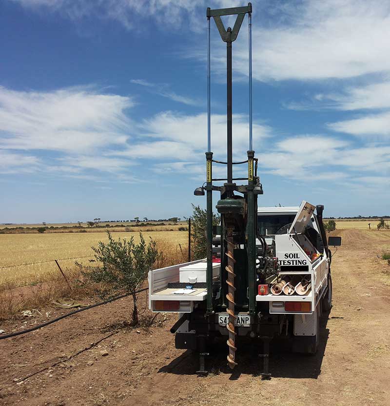
The HLR Geospatial fleet is rounded out with two lightweight rigs that are capable of solid flight auger drilling to depths of up to 4m and provide a subsurface sample with log reports. These samples are brought to the surface with minimal contamination and bagged for geotechnical analysis.
Geotechnical industry standard process
We have an industry standard process for a service guarantee that sets us apart from our competitors. The two drilling rigs are mounted on 4WD vehicles, operated by experienced soil technicians who are survey trained along with a service locating tickets.
We are well suited to shallow borehole drilling for your site investigation. They are also available for site sampling projects.

HLR Geospatial fleet
Geotechnical capabilities and dimensions
Toyota Landcruiser
Capabilities
- 100 mm solid flight auger to 5 m
- 300 mm solid flight auger to 1.5 m
- U50’s
- Disturbed samples
Dimensions
- Vehicle: 4WD Toyota Land cruiser
- Weight: 3.3 tonne
- Length: 6.0 m
- Width: 2.1 m
- Height: Travelling – 2.1 m / Drilling – 5.0 m
Mitsubishi Triton
Capabilities
- 100 mm solid flight auger to 5 m
- 300 mm solid flight auger to 1.5 m
- U50’s
- Disturbed samples
Dimensions
- Vehicle: Mitsubishi Triton
- Weight: 2.8 tonne
- Length: 6.0 m
- Width: 2.1 m
- Height: Travelling – 2.1 m / Drilling – 5.0 m
