HLR Geospatial
Helping companies to achieve their geospatial project goals with the latest technology and accurate results.
Expert solutions in GNSS surveying, robotic surveying, lidar scanning, service locating, underground mapping, geotechnical sampling, plan drafting, interpret plans and specifications.
OUR COMPANY
HLR Geospatial
Committed to customer success for all spatial requirements in South Australia
HLR Geospatial is a South Australian based company with offices across the state and a strong focus on GNSS surveying, station surveying, lidar scanning, service locating, underground service locator, underground mapping, geotechnical sampling as well as plan drafting and interpretation. We also specialise in monitoring for vibration of ground movement for critical sites along with dynamic and static displacement of structures.
Surveying industry experts for small, large and complex project needs
We understand the demands and intricacies of the surveying industry and appreciate the challenges you may face when managing large or complex projects.
By partnering with HLR Geospatial, you can access a second set of hands, industry-leading technology, and a team of highly skilled professionals dedicated to helping you achieve your project goals.

industry sectors
HLR Geospatial serves a large range of industry sectors
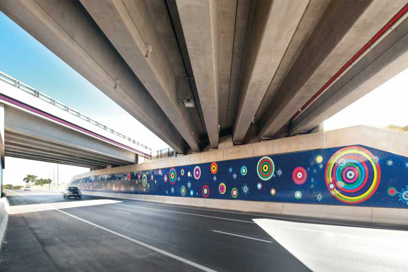
Transport sector
Building sector
Agricultural sector
Water industry
Energy industry
Mining industry
Construction industry
National broadband
Power cables
Civil industry
Earthmovers
Plumbers
Engineering consultants
Local Councils
State Government departments

OUR services
Industry leading geospatial services
HLR Geospatial offers a wide range of geospatial and GNSS expert services using the latest Instrumentation Technology to provide accurate results.
GNSS Surveying
Our GNSS experts can provide precise location data, helping you with georeferencing and ensuring your survey data is accurate and reliable.
Total Station Survey
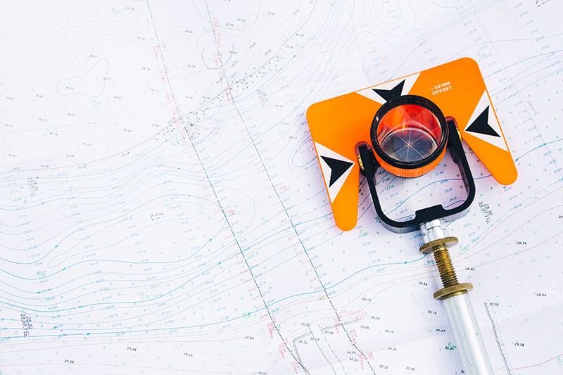
We excel in using Total Stations for topographic surveys, construction layout, and boundary surveys, saving you time and effort.
Lidar Scanning
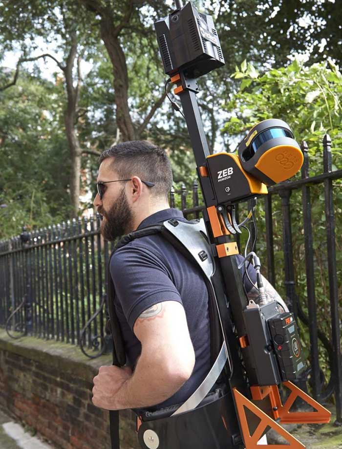
Our Lidar scanning services are renowned for capturing detailed 3D data for mapping, modelling, and analysis, making complex projects more manageable.
Geotechnical Soil Sampling
We have been providing Geotechnical soil samples to help create the foundation for successful projects.
Service Locating & Underground Mapping
We can assist in identifying underground utilities and providing accurate mapping to prevent costly and potentially dangerous mishaps.
Plan Drafting and Interpretation
Our drafting and interpretation services ensure your project plans and documentation are precise, compliant, and facilitate smooth project execution.
Drone Surveys
Fly and process imagery creating DTM’s, project progress reports or maintenance assessments reports for those hard to access locations.
Monitoring
Construction site monitoring of Vibration and structural integrity, Railway monitoring, Bridge Monitoring all on a cloud platform for reporting and accessing the data in real time. Along with the standard survey monitoring.
OUR CUSTOMER COMMITMENT
Geospatial customer project support

Your dedicated partner
Collaborating with HLR Geospatial means gaining a dedicated partner who is committed to your success. We are well-equipped with the latest surveying technology and a talented team with extensive experience in a wide range of projects. By outsourcing some of your work to us, you can free up your time and resources to focus on what you do best.
Tailor made solutions
We would welcome the opportunity to discuss your specific needs and explore how our expertise can seamlessly integrate with your projects.
Please let us know via our email, phone, or contact form below and we will provide you with a tailored proposal and answer any questions you may have.
Helping South Australian companies to achieve their project goals with precision surveying solutions.
WHY CHOOSE US
HLR Geospatial for all your spatial requirements and support
We understand the demands and intricacies of the surveying industry and appreciate the challenges you may face when managing large or complex projects.
By partnering with HLR Geospatial, you can access a second set of hands, industry-leading technology, and a team of highly skilled professionals dedicated to helping you achieve your project goals.

Accuracy First
Our surveys stand out because of their meticulous attention to detail. We understand that in this field, even the slightest error can have significant implications. Therefore, we ensure every measurement, every line, and every detail is spot on.

Experienced Team
Our surveyors, with their vast reservoir of knowledge and hands-on experience, are committed to delivering excellence. Their expertise ensures that you receive the best advice, guidance, and service throughout the process.

Up-to-Date Technology
Investing in the latest surveying technology and software ensures we stay ahead of the curve. This not only speeds up the process but also increases the precision and reliability of our surveys.

Tailored to Your Needs
We take the time to understand your specific requirements and tailor our approach accordingly. Whether it’s a historic building needing delicate handling or a modern structure with its unique challenges, we adapt to ensure optimal results.
WHY CHOOSE US
